Environment & Energy
Related: About this forumAs Of 2/7/2026, Lake Powell Now Below 25% Of Capacity; Trash Screens Visible Above Penstocks On Dam Face
https://lakepowell.water-data.com/Note: This site updates daily (or nearly so) with USBR data on water levels.

Current elevation is just below 3,534 feet above sea level, about 44 feet above Minimum Pool Pool at 3,490 feet. Minimum Power Pool is the point at which all power generation stops. Rated at 1.3 GW, Glen Canyon Dam's output would fall steadily below that amount as the water level gradually approached that level (3,490 feet).
This video provides excellent illustrations on current conditions, particularly regarding semi-cryptic notes in my title about trash screens:
Additional information below through Glen Canyon Institute:
This month the Bureau of Reclamation hosted a webinar describing possible alternatives to re-engineer Glen Canyon Dam so that it may salvage hydropower generation and continue delivering water at lower levels. For the Bureau of Reclamation to publicly discuss ideas to reengineer the dam is a very big deal — it confirms the glory years of the dam are truly coming to an end. We applaud the agency for taking the first steps toward modifying the dam, but if we want the Colorado River to survive the decades to come, we have to think about more than salvaging some hydropower at Glen Canyon. We have to be prepared to transition past the dam altogether, and address the problems it has created. The sooner that conversation begins, the better it will be for all stakeholders.
You may recall that last summer, Glen Canyon Institute, Utah Rivers Council, and Great Basin Water Network released a report that highlighted the dam’s big plumbing problems, specifically, that at a certain elevation, it will be physically unable to deliver enough water to meet downstream obligations. Reclamation has also expressed concerns about operating the dam solely through the River Outlet Works, the lowest current release of the dam. The dam wasn’t designed to run only on those outlets, and the agency is concerned about its structural ability to do it full time.
A quick recap of terminology: minimum power pool (Elevation 3,490) is the lowest elevation the dam can still produce hydropower, about 20 feet above the dam’s 8 hydropower penstocks. Dead pool (elevation 3,374) is the lowest elevation the dam can still release water (through the four smaller River Outlets Works that don’t produce hydropower). These outlets were built hundreds of feet above the original riverbed so that the accumulating sediment in the forebay wouldn’t prematurely end the functional life of the dam. In the webinar, Reclamation said the life of the dam is 100 years, much shorter than the 700-year lifespan once assumed by the agency.
With Lake Powell reservoir dropping, yet again, to a historical low, and negotiations among Basin states tumultuous as ever, the realities of the Colorado River’s supply-demand imbalance are top of mind, and the need to think about what happens below Glen Canyon Dam’s power pool is more critical than ever. It’s important to remember that the reservoir would likely already be at or below minimum power pool if not for the drastic efforts by Reclamation to prop up the reservoir, including: releasing more water from upstream reservoirs, holding back water from Lake Mead, and reconfiguring the annual releases from Glen Canyon Dam to be smallest in winter and spring months when the reservoir is at its seasonal nadir.
EDIT
https://glencanyon.org/reclamations-ideas-to-modify-glen-canyon-dam-leave-some-big-questions/

 = new reply since forum marked as read
Highlight:
NoneDon't highlight anything
5 newestHighlight 5 most recent replies
= new reply since forum marked as read
Highlight:
NoneDon't highlight anything
5 newestHighlight 5 most recent replies

NNadir
(37,549 posts)
hatrack
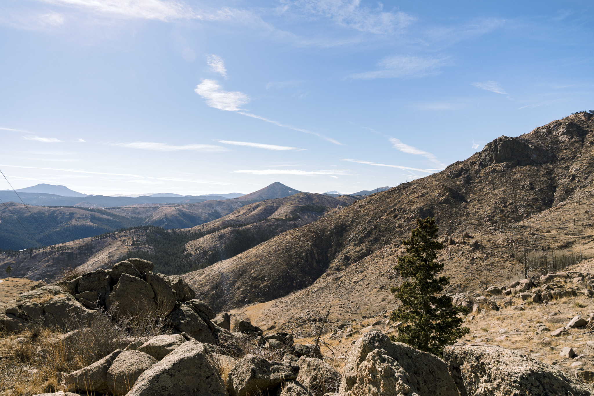
(64,520 posts)This is a photograph travelogue of what's going on down-canyon.
https://doingmiles.com/2009-04-escalante/
https://amyl.smugmug.com/Backpacking/UT-OR/200904-Escalante-River
First link - trip overview.
Second link - a photo diary from a hike nearly 20 years ago from the town of Escalante to below Coyote Gulch. FWIW, I'd suggesting starting at the bottom of the photo list and working backwards. Since that time, lots more of what's presented here - streams cutting through silt, canyons restoring themselves, species returning - has taken root as water levels collapse.
Also worth investigating - the Returning Rapids Project which tracks changes and sediment removal as rapids and side canyons clear themselves of silt far upstream in Cataract Canyon, and the book "Dead Pool" by Zack Podmore.
Nature does amazing things when we just let her alone for a while.
NNadir
(37,549 posts)One can see it here: Glen Canyon Institute

I am nowhere near old enough, although I'm an old man, to have seen Glen Canyon in its original majesty.
You know, they wanted to do this to the Grand Canyon as well.
hatrack
(64,520 posts)And re. the Grand Canyon - yes, with not one, but two dams.
Marble Canyon and Bridge Canyon weren't designed for irrigation or for flood control, but to generate hydropower revenue so that we could build more dams, so that we could generate more hydropower revenue so that we . . .
Sorry, where was I?
Oh yeah, the photograph above.
If you go to the right-hand side where the ring is broadest and where the "chomp" has been taken out of the fin, that's where Better Half and I camped 20 years ago last September, on a silt bar beneath the cliff.
The reservoir was at 3605 when we came through by raft via Cataract. Even then, with water levels 70 feet higher than they are now, we were camped next to a river, not a reservoir.

usaf-vet
(7,773 posts)hatrack
(64,520 posts)Loss of reservoir capacity to siltation . . . .
It's a long story.
OnlinePoker
(6,111 posts)The snowpack is also really low at 54% of normal so the runoff this spring is going to be abysmal. They're also required to release a certain amount of water annually under the Colorado River Compact which was signed at a time the precipitation levels were much higher in 1922. Now, nobody downstream is willing to give up their "rights" to the water so they just keep releasing it.
https://lakepowell.water-data.com/
flashman13
(2,223 posts)Right now the chances of that are slim to none. For the interior west east of the Rockies this has been the no winter winter. Unprecedented hardly describes this year's extremely warm winter temperatures. Right now the snow pack in the watershed that supplies the Colorado River is extremely sparse. While there is a possibility that a couple of good storms could improve the situation, the trend is not in that direction. There is roughly only eight weeks left for that to happen.
hatrack
(64,520 posts)